
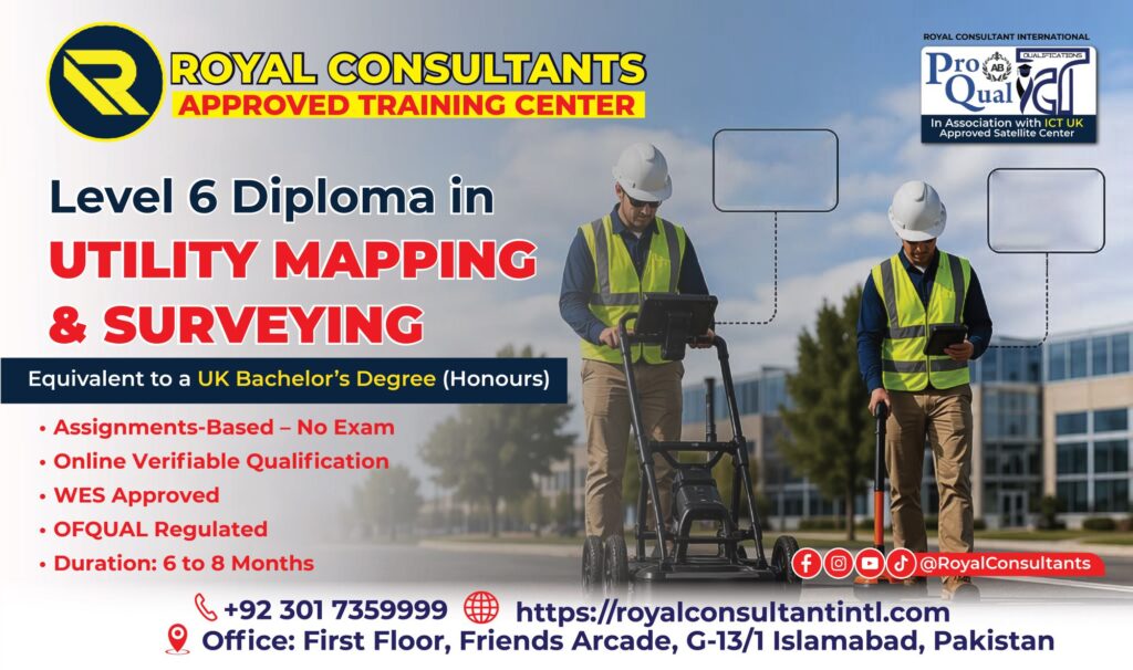
In today’s rapidly evolving construction and infrastructure industry, accurate utility mapping and surveying have become essential for safe and efficient project execution. The ProQual Level 6 Diploma in Utility Mapping and Surveying is a globally recognized qualification designed for professionals who want to develop advanced expertise in utility detection, geomatics, spatial data analysis, and site surveying management.
At Royal Consultant International, we help professionals achieve internationally accredited qualifications that open doors to high-demand careers in construction, civil engineering, infrastructure development, and utility management.
What is ProQual Level 6 Diploma in Utility Mapping and Surveying?
The ProQual Level 6 Diploma in Utility Mapping and Surveying is an advanced qualification focused on underground utility detection, geomatics, site surveying operations, spatial data management, vacuum excavation, and risk control procedures.
This diploma is ideal for professionals working in:
- Construction & Infrastructure
- Civil Engineering
- Surveying & Geomatics
- GIS & Spatial Data Management
- Utility Inspection & Mapping
- Project Management
It enables professionals to identify underground utilities accurately, minimize risks, and ensure safety during construction projects.
Why Choose Royal Consultant International?
Choosing the right consultancy is key to your success. At Royal Consultant International, we provide complete support from enrollment to certification.
Our Key Advantages
- Expert consultancy for international qualifications
- Complete student support
- Career-focused guidance
- Flexible learning options
- Support for GCC & international students
- Professional career consultation
We ensure you choose the right path according to your career goals.
Course Overview
This diploma focuses on practical and technical skills required in modern surveying and infrastructure projects.
Qualification Highlights
- Qualification: ProQual Level 6 Diploma
- Duration: 6–12 Months
- Total Qualification Time: 400 Hours
- Guided Learning Hours: 230 Hours
- Recognition: Internationally Accepted
Course Units
The program includes essential units such as:
- Planning and managing site surveying
- Analysis and presentation of survey data
- Spatial data identification and assessment
- Vacuum excavation techniques
- Risk management and hazard control
These units are designed for real-world applications in the field.
Learning Outcomes
After completing the course, you will be able to:
- Manage utility mapping projects effectively
- Analyze and interpret surveying data
- Perform accurate underground utility detection
- Apply safe excavation techniques
- Handle project risks professionally
- Present technical data with confidence
Career Opportunities
This qualification opens doors to high-paying roles worldwide.
Job Roles
- Utility Surveyor
- GIS Technician
- Geomatics Specialist
- Site Survey Manager
- Infrastructure Consultant
- Construction Surveyor
- Utility Mapping Expert
You can work in:
- Construction companies
- Engineering firms
- Government projects
- Utility companies
- Smart city projects
Entry Requirements
To enroll, you typically need:
- A Level 5 qualification in a related field
OR - Relevant professional experience
Basic knowledge of surveying and construction is recommended.
Why This Course is Important
With massive infrastructure development in countries like Saudi Arabia and UAE, the demand for skilled utility mapping professionals is rapidly increasing.
This qualification ensures you stay competitive in:
- Mega construction projects
- Smart city developments
- Infrastructure expansion
- Engineering consultancy
Who Should Enroll?
This course is perfect for:
- Civil Engineers
- Surveyors
- GIS Professionals
- Construction Managers
- Engineering Students
- Infrastructure Specialists
Importance of Utility Mapping
Utility mapping helps prevent damage to underground systems such as:
- Water pipelines
- Gas lines
- Electrical cables
- Fiber optics
- Sewer systems
Accurate surveying improves safety, reduces delays, and saves costs.
Enroll Now with Royal Consultant
Start your journey toward a successful international career with the ProQual Level 6 Diploma in Utility Mapping and Surveying.